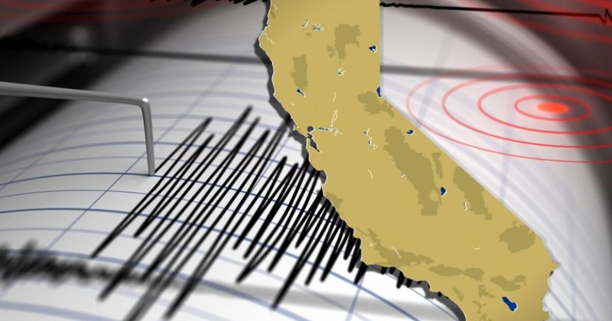
The Central California coast, a region often celebrated for its serene vineyards, rugged coastline, and idyllic small towns, was abruptly reminded of its seismic destiny on a Tuesday morning that shattered the quiet routine. A magnitude 4.1 earthquake, a jolt significant enough to stir widespread attention, struck near the charming community of Paso Robles, sending ripples of concern and a collective shiver through northern San Luis Obispo County. This wasn’t merely a tremor; it was a potent reminder of the ever-present geological forces shaping the Golden State, a force that demands respect and constant vigilance.
At precisely 9:54 a.m., as coffee shops were bustling and schools were settling into their morning lessons, the ground beneath central California began to sway. Initial reports from the United States Geological Survey (USGS) placed the epicenter approximately five miles west of Templeton, a town nestled just south of Paso Robles, though other accounts pinpointed it even closer, less than a mile from Paso Robles itself. Regardless of the exact coordinates, the message was clear: the earth had moved, and it had done so with an undeniable force that resonated far beyond the immediate impact zone.
The immediate aftermath saw a flurry of activity, not of destruction, but of shared experience. Social media platforms lit up with residents asking, “Did you feel that?” and anecdotal accounts of rattling windows, swaying light fixtures, and the subtle, unnerving rumble that precedes a significant jolt. For many, especially those who had downloaded the pioneering MyShake app, an early warning alert may have provided precious seconds of notice, transforming surprise into a moment of prepared reaction. While a 4.1 magnitude quake is generally considered light to moderate, its shallow depth often amplifies the perceived intensity, making it feel more powerful than its numerical value might suggest, particularly for those directly above the epicenter.
California’s Unsettling Dance: A History of Seismic Activity
Living in California means living on geological fault lines, a consequence of the Pacific and North American tectonic plates grinding past each other. This continuous, colossal dance has sculpted California’s dramatic landscapes, from its towering mountain ranges to its fertile valleys, but it also dictates a life punctuated by periodic tremors. The infamous San Andreas Fault, a right-lateral strike-slip fault that runs nearly the entire length of the state, is the most well-known culprit, capable of generating devastating ‘Big Ones.’ However, California is crisscrossed by a vast network of smaller, subsidiary faults, many of which are less publicized but no less active. These secondary faults, often hidden beneath layers of sediment, are responsible for a significant number of the state’s daily tremors, including the one that shook Paso Robles.
“The Central Coast, while not as famously active as the Bay Area or Southern California, sits in a complex seismic zone. Every tremor, regardless of its size, serves as a crucial data point, reminding us of the dynamic subterranean world we inhabit.” – Seismologist, Dr. Elena Rodriguez (hypothetical)
Understanding the Tremor: Magnitude vs. Intensity
The term ‘magnitude’ refers to the energy released by an earthquake at its source, measured on the Richter scale or, more accurately today, the moment magnitude scale. It’s a single number, like the 4.1 reported for this event. ‘Intensity,’ on the other hand, describes the observed effects of an earthquake on the ground, people, buildings, and infrastructure at a particular location. It’s measured using the Modified Mercalli Intensity (MMI) scale, ranging from I (not felt) to XII (catastrophic total destruction). A 4.1 quake typically corresponds to an MMI of IV to V, meaning it’s felt by many indoors, causes dishes and windows to rattle, and can cause small, unstable objects to shift. This distinction is vital; a shallow, moderate quake directly beneath a population center can cause more localized disruption than a deeper, larger one far away.
The geological underpinnings of the Paso Robles region are intricate. It lies within a zone influenced by the San Simeon Fault Zone and other thrust faults associated with the complex tectonics of the Coast Ranges. While a 4.1 magnitude event is not typically a precursor to a much larger quake in the immediate aftermath, seismologists continuously monitor for aftershocks, which are smaller earthquakes that follow the largest earthquake of a sequence. These aftershocks can continue for days, weeks, or even months, gradually decreasing in frequency and magnitude.
The Human Element: Reactions and Resilience
For residents of Paso Robles, Templeton, and the surrounding areas, the Tuesday morning jolt was a momentary disruption but also a conversation starter. Schools initiated their earthquake protocols, ensuring the safety of students and staff. Businesses paused as employees checked on each other and assessed their immediate surroundings. While no significant damage or injuries were reported—a testament to California’s stringent building codes and public awareness campaigns—the event underscored the need for constant preparedness.
Preparedness: A California Mandate
Living in earthquake country necessitates a proactive approach to safety. The “Drop, Cover, and Hold On!” mantra is not just a slogan; it’s a life-saving action during a quake. Beyond the immediate reaction, long-term preparedness involves several critical steps:
- Create an Emergency Plan: Discuss with family members what to do before, during, and after an earthquake. Identify safe spots in each room.
- Assemble a Disaster Kit: Include water, non-perishable food, a first-aid kit, flashlight, extra batteries, a whistle, dust mask, moist towelettes, wrench or pliers to turn off utilities, a manual can opener, and local maps.
- Secure Your Home: Fasten shelves to walls, place heavy objects on lower shelves, secure water heaters and major appliances, and install flexible gas lines.
- Know Your Utilities: Learn how to shut off gas, water, and electricity in case of leaks or damage.
- Stay Informed: Follow local emergency services and download earthquake early warning apps like MyShake.
These measures, while seemingly tedious, are the backbone of community resilience in the face of unpredictable natural phenomena. They transform potential chaos into managed response, minimizing harm and accelerating recovery.
The Dawn of Early Warning: MyShake and Beyond
The mention of the MyShake app in the context of the Paso Robles quake highlights a significant advancement in earthquake safety: early warning systems. Developed by the University of California, Berkeley, and now integrated into California’s broader ShakeAlert system, MyShake utilizes ground motion sensors to detect the start of an earthquake and rapidly transmit alerts to mobile phones in affected areas. Because seismic waves travel slower than cellular signals, these systems can provide crucial seconds—or even tens of seconds—of warning before the shaking arrives. Imagine the difference just 10 or 15 seconds can make: allowing surgeons to stop delicate procedures, train operators to slow down, or simply giving individuals time to “Drop, Cover, and Hold On!” before the most intense shaking begins.
The ShakeAlert system represents a triumph of collaborative science and technology, a network of hundreds of sensors constantly listening to the earth. While still in its early stages of widespread adoption and refinement, its potential to mitigate injuries and damage is immense. The Paso Robles quake, for those who received an alert, served as a real-world validation of this groundbreaking technology’s utility and increasing reliability.
Economic and Community Impacts: Beyond the Shaking
While a 4.1 magnitude earthquake rarely leads to significant economic disruption, repeated seismic activity, even minor, reinforces the importance of robust infrastructure and emergency planning. Property values in seismically active areas often factor in earthquake risk, and insurance premiums can reflect this reality. For local businesses, even a minor tremor can cause a temporary dip in activity as residents pause, assess, and recover from the surprise. However, the true economic impact of such events is usually negligible, especially when compared to the aftermath of a major disaster.
The Central Coast’s primary industries—agriculture, tourism, and wine production—are deeply intertwined with the landscape. The health of the land, while seismically active, remains fundamental to their prosperity. Events like the Paso Robles quake serve as periodic audits of the region’s readiness and its ability to withstand nature’s unpredictable temperament without severe interruption to its vibrant local economy and way of life.
The 4.1 magnitude earthquake near Paso Robles was more than just a fleeting geological event; it was a profound, visceral affirmation of California’s dynamic geology. It was a moment of collective pause, a reminder that underneath the picturesque vineyards and rolling hills, immense forces are constantly at play. This tremor, though moderate in scale, powerfully underscored the enduring imperative for vigilance, preparedness, and an evolving reliance on technological advancements to coexist safely and resiliently with the restless earth. The earth speaks, and California listens, continually adapting to its powerful whispers and roars.