
A Lingering Chill for the Empire State
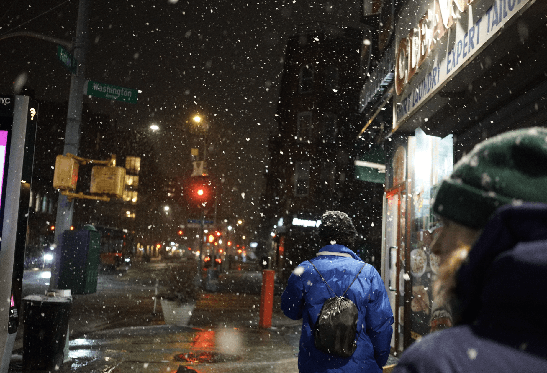
New Yorkers are being advised to brace for a potential comeback of winter weather this weekend, though forecasts suggest it won’t be a blockbuster blizzard. The immediate threat of a significant storm has diminished, but the lingering effects of cold air and localized lake effect snow are still present.
The Yellow Alert for severe weather has officially ended, signifying a de-escalation in the immediate danger posed by recent conditions. However, this does not signal a complete return to milder temperatures or clear skies across the state.
Lake Effect and Cold Air Persist
In regions like Rochester, the National Weather Service has noted that while the Yellow Alert is over, the atmospheric conditions are conducive to continued light flurries and localized lake effect snow. This phenomenon, driven by cold air moving over warmer lake waters, can produce sudden bursts of snow in specific areas.
This lingering chill means residents should remain prepared for potentially slippery conditions, especially during morning commutes or evening hours. The intensity of these snow bands is typically localized and short-lived, but they can cause significant disruptions in the affected zones.
Revised Forecasts for Central New York
For areas in Central New York, including Syracuse, recent advisories have brought revised snowfall predictions. The initial expectations of heavier accumulations have been scaled back significantly.
The National Weather Service now anticipates total snow accumulations to range between 2 and 6 inches for these regions. This adjustment indicates a less impactful storm than initially feared, offering some relief to residents who were preparing for more substantial winter conditions.
Understanding Lake Effect Snow
Lake effect snow is a weather phenomenon unique to the Great Lakes region of North America. It occurs when cold, dry air masses move across the relatively warm, moist waters of the Great Lakes.
As the air travels over the lakes, it picks up heat and moisture. When this warmer, moister air reaches the colder landmass, it rises, cools, and condenses, forming clouds and producing snowfall. The intensity and location of lake effect snow bands are highly dependent on wind direction and temperature differentials.
These bands can be narrow but intensely active, dropping several inches of snow in a short period, while areas just a few miles away might receive little to no accumulation. This makes forecasting lake effect snow particularly challenging.
The Impact of Changing Forecasts
The revision in snowfall predictions for Central New York highlights the dynamic nature of winter weather forecasting. Meteorologists constantly analyze incoming data, including satellite imagery, radar, and ground observations, to refine their predictions.
For residents, these forecast changes can influence preparations. Lowered snow expectations might mean less need for extensive stocking of supplies or fewer cancellations of events and school activities. However, a cautious approach is still warranted.
Preparing for Lingering Winter Conditions
Even with reduced snowfall totals, the presence of cold air and potential for icy conditions requires continued vigilance. Motorists are advised to check road conditions before traveling and to ensure their vehicles are equipped for winter driving, including having adequate tire tread and emergency supplies.
Homeowners may still experience periods of light snow, requiring shoveling and salting of walkways. The persistent cold also means increased energy usage for heating, and residents should ensure their heating systems are functioning optimally.
A Look Ahead
While the weekend forecast does not point to a major winter event for New York, the overall pattern suggests winter is not yet ready to yield. Residents across the state should stay updated with the latest weather information from reliable sources.
The gradual transition from more severe alerts to lingering cold and light snow reflects the typical ebb and flow of late winter weather. It’s a reminder that while spring approaches, the season’s final acts can still bring wintery surprises.
“It’s a classic late-winter pattern we’re seeing,” said one meteorologist. “The intensity might be dialed back from what was initially feared, but the cold air is stubborn, and the lakes are still cold enough to produce those localized snow showers. It’s not a shutdown-the-city kind of snow, but it’s enough to make you pay attention.”
![]()